
As we near the anniversary of the devastation Hurricane Helene left behind, some have wondered how have we managed the destruction of such a traumatic event to our landscape. This past summer, Dr. Philip S. Prince, Project Geologist with Appalachian Landslide Consultants and researcher with Virginia Tech’s Department of Geosciences, presented “Understanding Helene as a Geologic Event in Southern Appalachia…and What is a ‘Geologic Event’ Anyway?” at the Highlands Nature Center. The program was free and open to the public.
In this fascinating lecture, Dr. Prince examined the extraordinary impacts of Helene, which caused unprecedented flooding and landslides across the southern Appalachians. From Haywood County, North Carolina to southwest Virginia, Helene’s effects outpaced all previously recorded storm damage. Dr. Prince explained how the storm’s unique interaction with the region’s southeast-facing slopes intensified its power, and why southern Appalachian topography played a key role in shaping the storm’s impact.
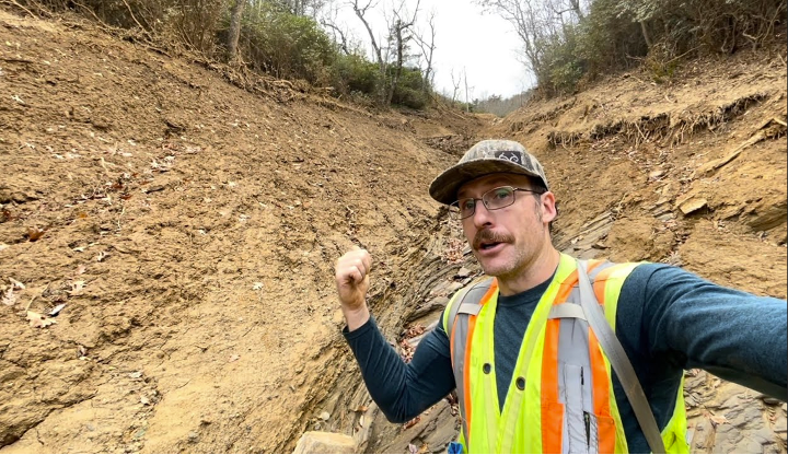
By combining fieldwork with remote sensing techniques like LiDAR, Dr. Prince showed those in attendance what Helene actually did to the landscape—how it changed river channels, carved scars into slopes, and left lasting marks on the mountains. His talk also explored how similar storms throughout history may have helped form the rugged topography we see today.
Attached you can access the slides from his presentation linked here.